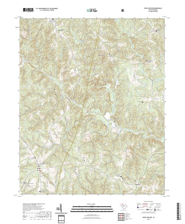
2024 Map of Cross Anchor
USGS Topo · Published 2024About this map
Cross Anchor and Cross Keys serve as the primary hubs of this landscape on the border of Spartanburg and Union Counties. The area is characterized by a dense network of country roads and creek drainages, including Dutchman Creek and Hackers Creek, which feed into the winding Tyger River. This modern survey reveals a community deeply rooted in its local history, evidenced by an exceptional concentration of religious and family landmarks.
Find a feature on this map
83 named features on this map. Tap any name to fly to it.
Don’t see what you’re looking for? This feature index may not catch every label — zoom into the map to look around manually.
Map Details
Editions of this 2024 Cross Anchor Map
This is the sole edition of this map. No revisions or reprints were ever made.
Other maps of this area

1941 · Spartanburg
USGS Topo · 1:250,000

1947 · Spartanburg
USGS Topo · 1:62,500

1949 · Spartanburg
USGS Topo · 1:62,500

1953 · Spartanburg
USGS Topo · 1:250,000

1960 · Spartanburg
USGS Topo · 1:250,000

1963 · Spartanburg
USGS Topo · 1:250,000

1964 · Spartanburg
USGS Topo · 1:250,000

1969 · Cross Anchor
USGS Topo · 1:24,000

1969 · Ora
USGS Topo · 1:24,000
1969 · Enoree
USGS Topo · 1:24,000