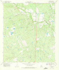
1969 Map of Cross
USGS Topo · Published 1972About this map
San Miguel Creek meanders through this ranching landscape in northern McMullen County, defining a territory where water management is central to the land's utility. The small community of Cross serves as a local anchor, distinguished by the nearby Cross Cem. The terrain is marked by numerous man-made watering holes, including Lone Star Tank, Indian Tank, and Birthday Tank, which support the cattle operations that dominate the region.
Find a feature on this map
25 named features on this map. Tap any name to fly to it.
Don’t see what you’re looking for? This feature index may not catch every label — zoom into the map to look around manually.
Map Details
Editions of this 1969 Cross Map
2 editions found
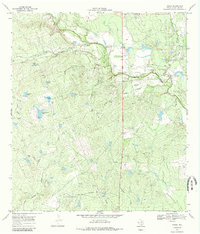
Other maps of this area

1920 · Mikeska
USGS Topo · 1:125,000

1925 · Tilden No. 1
USGS Topo · 1:48,000

1925 · Crowther No. 3
USGS Topo · 1:48,000

1925 · Simmons No. 2
USGS Topo · 1:48,000

1929 · Simmons
USGS Topo · 1:62,500

1930 · Tilden
USGS Topo · 1:62,500

1930 · Whitsett
USGS Topo · 1:62,500

1942 · Tilden
USGS Topo · 1:62,500

1942 · Whitsett
USGS Topo · 1:62,500

1953 · Crystal City
USGS Topo · 1:250,000