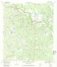
1969 Map of Cross
USGS Topo · Published 1984About this map
Cross and the neighboring Franklin Ranch anchor this MCMullen County landscape at the end of the 1960s, a period defined by the convergence of ranching and petroleum interests. The terrain is deeply incised by the drainage systems of San Miguel Creek and Bill Walker Creek, which are supported by a complex network of artificial water sources such as Beulah Tank, Indian Tank, and Lone Star Tank. These "tanks" or stock ponds, often bearing evocative local names like Rocking Chair Tank and Birthday Tank, illustrate the critical importance of water management in this arid cattle country.
Find a feature on this map
26 named features on this map. Tap any name to fly to it.
Don’t see what you’re looking for? This feature index may not catch every label — zoom into the map to look around manually.
Map Details
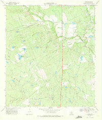
Editions of this 1969 Cross Map
2 editions found
Other maps of this area

1920 · Mikeska
USGS Topo · 1:125,000

1925 · Tilden No. 1
USGS Topo · 1:48,000

1925 · Crowther No. 3
USGS Topo · 1:48,000

1925 · Simmons No. 2
USGS Topo · 1:48,000

1929 · Simmons
USGS Topo · 1:62,500

1930 · Tilden
USGS Topo · 1:62,500

1930 · Whitsett
USGS Topo · 1:62,500

1942 · Tilden
USGS Topo · 1:62,500

1942 · Whitsett
USGS Topo · 1:62,500

1953 · Crystal City
USGS Topo · 1:250,000