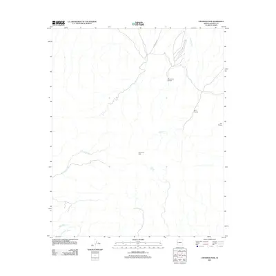
2011 Map of Crossman Peak
USGS Topo · Published 2011About this map
Crossman Peak dominates this high-desert landscape in Mohave County, serving as a primary topographical anchor for the surrounding drainages. The 2011 survey reveals an arid network of seasonal waterways, including Franconia Wash and the sprawling Falls Springs Wash which cuts across the central elevations. These desert washes are critical to the local geography, leading toward the Colorado River basin and defining the natural corridors of the region.
Find a feature on this map
10 named features on this map. Tap any name to fly to it.
Don’t see what you’re looking for? This feature index may not catch every label — zoom into the map to look around manually.
Map Details
Editions of this 2011 Crossman Peak Map
This is the sole edition of this map. No revisions or reprints were ever made.
Other maps of this area

1903 · Needles
USGS Topo · 1:125,000

1904 · Needles Special
USGS Topo · 1:125,000

1911 · Parker
USGS Topo · 1:125,000

1927 · Buck Mountains
USGS Topo · 1:62,500

1929 · Buck Mountains
USGS Topo · 1:62,500

1943 · Giers Basin
USGS Topo · 1:62,500

1943 · Topock
USGS Topo · 1:62,500

1943 · Whipple Mts.
USGS Topo · 1:62,500

1950 · Topock
USGS Topo · 1:62,500

1950 · Whipple Mts
USGS Topo · 1:62,500