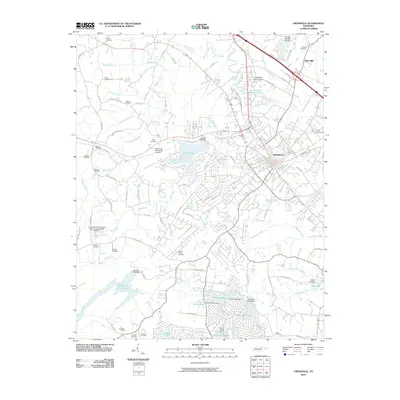
2010 Map of Crossville
USGS Topo · Published 2010About this map
The Crossville settlement and its surrounding landscape are defined by a complex network of waterways, with the Obed River and Little Obed River converging near the town center. This 2010 survey illustrates the developed residential areas and infrastructure including the Crossville Memorial Airport and the University of Tennessee Agricultural Extension Service. Local genealogy is well-supported by the high density of family-named burial grounds like Graham Cemetery, Lowery Stand Cemetery, and Andrew Cemetery scattered through the plateau terrain.
Find a feature on this map
108 named features on this map. Tap any name to fly to it.
Don’t see what you’re looking for? This feature index may not catch every label — zoom into the map to look around manually.
Map Details
Editions of this 2010 Crossville Map
This is the sole edition of this map. No revisions or reprints were ever made.
Other maps of this area

1887 · Kingston
USGS Topo · 1:125,000

1891 · Kingston
USGS Topo · 1:125,000

1892 · Pikeville
USGS Topo · 1:125,000

1893 · Kingston
USGS Topo · 1:125,000

1895 · Wartburg
USGS Topo · 1:125,000

1895 · Pikeville
USGS Topo · 1:125,000

1896 · Wartburg
USGS Topo · 1:125,000

1897 · Standingstone
USGS Topo · 1:125,000

1898 · Standingstone
USGS Topo · 1:125,000

1912 · Crossville
USGS Topo · 1:62,500