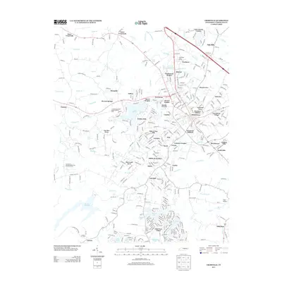
2013 Map of Crossville
USGS Topo · Published 2013About this map
Crossville serves as the focal point of this Tennessee plateau landscape, where the confluence of the Obed River and Little Obed River once shaped early transport and settlement. By this era, the town has expanded through numerous residential developments like Harrison Addition and Grassland Addition, reflecting a period of significant suburban growth. The geography is defined by a series of man-made water bodies and lakeside communities, from the resort-style layout of Lake Tansi Village in the south to Lake Genesis Country in the northeast.
Find a feature on this map
340 named features on this map. Tap any name to fly to it.
Don’t see what you’re looking for? This feature index may not catch every label — zoom into the map to look around manually.
Map Details
Editions of this 2013 Crossville Map
This is the sole edition of this map. No revisions or reprints were ever made.
Other maps of this area

1887 · Kingston
USGS Topo · 1:125,000

1891 · Kingston
USGS Topo · 1:125,000

1892 · Pikeville
USGS Topo · 1:125,000

1893 · Kingston
USGS Topo · 1:125,000

1895 · Wartburg
USGS Topo · 1:125,000

1895 · Pikeville
USGS Topo · 1:125,000

1896 · Wartburg
USGS Topo · 1:125,000

1897 · Standingstone
USGS Topo · 1:125,000

1898 · Standingstone
USGS Topo · 1:125,000

1912 · Crossville
USGS Topo · 1:62,500