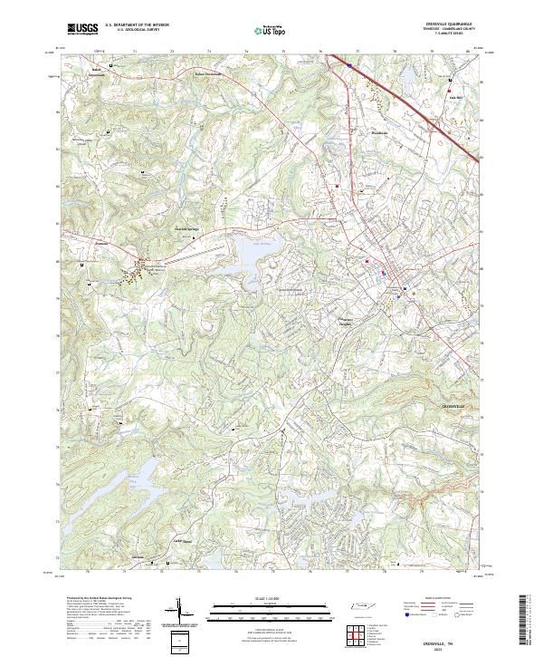
2023 Map of Crossville
USGS Topo · Published 2023About this map
Crossville serves as the focal point of this Cumberland County study, situated atop the Cumberland Plateau where the Tennessee Valley Divide snakes through the western terrain. The landscape is defined by a sophisticated network of water management and recreation, featuring large bodies such as Lake Tansi, Meadow Park Lake, and Lake Holiday. The map captures the interface between the urban center and its outlying rural settlements, including Pomona, Lantana, and Baker Crossroads.
Find a feature on this map
73 named features on this map. Tap any name to fly to it.
Don’t see what you’re looking for? This feature index may not catch every label — zoom into the map to look around manually.
Map Details
Editions of this 2023 Crossville Map
This is the sole edition of this map. No revisions or reprints were ever made.
Other maps of this area

1887 · Kingston
USGS Topo · 1:125,000

1891 · Kingston
USGS Topo · 1:125,000

1892 · Pikeville
USGS Topo · 1:125,000

1893 · Kingston
USGS Topo · 1:125,000

1895 · Wartburg
USGS Topo · 1:125,000

1895 · Pikeville
USGS Topo · 1:125,000

1896 · Wartburg
USGS Topo · 1:125,000

1897 · Standingstone
USGS Topo · 1:125,000

1898 · Standingstone
USGS Topo · 1:125,000

1912 · Crossville
USGS Topo · 1:62,500