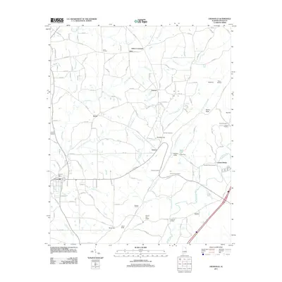
2011 Map of Crossville
USGS Topo · Published 2011About this map
Crossville serves as the primary hub in this corner of the Sand Mountain region, centered around the Crossville Post Office and the intersection of local routes. The landscape is defined by the parallel ridges of Mount Vera Ridge and Ripshin Ridge, creating the distinct agricultural corridors of Sand Valley and Dugout Valley. Water plays a central role in the topography here, with Big Wills Creek and its tributaries cutting through the terrain, punctuated by features such as Swindell Falls and Griffin Falls near Dawson. Numerous family and community burial grounds, including the Gilbreath Cemetery and Norris Cemetery, are scattered across the quadrangle, marking the generational homesteads of small settlements like Gilbert Crossroads, Skirum, and Ophir. The map also captures infrastructure such as Copeland Bridge and Edwards Bridge, which facilitate movement across the winding waterways of Little Sand Valley Creek and its branches.
Find a feature on this map
145 named features on this map. Tap any name to fly to it.
Don’t see what you’re looking for? This feature index may not catch every label — zoom into the map to look around manually.
Map Details
Editions of this 2011 Crossville Map
This is the sole edition of this map. No revisions or reprints were ever made.
Other maps of this area

1885 · Gadsden
USGS Topo · 1:125,000

1888 · Gadsden
USGS Topo · 1:125,000

1892 · Gadsden
USGS Topo · 1:125,000

1893 · Fort Payne
USGS Topo · 1:125,000

1895 · Gadsden
USGS Topo · 1:125,000

1898 · Fort Payne
USGS Topo · 1:125,000

1900 · Fort Payne
USGS Topo · 1:125,000

1903 · Gadsden
USGS Topo · 1:125,000

1936 · Painter
USGS Topo · 1:24,000

1936 · Crossville
USGS Topo · 1:24,000