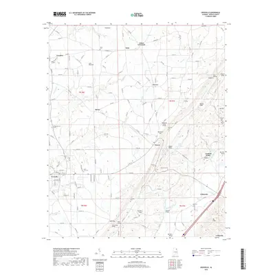
2018 Map of Crossville
USGS Topo · Published 2018About this map
Sand Mountain dominates the western half of this DeKalb County landscape, where the plateau surface supports the towns of Crossville and Geraldine. The terrain drops sharply eastward into the Big Wills Valley, a corridor shaped by the Big Wills Creek and defined by linear ridges such as Mt Vera Ridge and the Big Ridge. This physical divide between the upland plateau and the valley is breached at Nicholson Gap, a key transition point for local travel between the settlements of Dawson and Collinsville.
Find a feature on this map
135 named features on this map. Tap any name to fly to it.
Don’t see what you’re looking for? This feature index may not catch every label — zoom into the map to look around manually.
Map Details
Editions of this 2018 Crossville Map
This is the sole edition of this map. No revisions or reprints were ever made.
Other maps of this area

1885 · Gadsden
USGS Topo · 1:125,000

1888 · Gadsden
USGS Topo · 1:125,000

1892 · Gadsden
USGS Topo · 1:125,000

1893 · Fort Payne
USGS Topo · 1:125,000

1895 · Gadsden
USGS Topo · 1:125,000

1898 · Fort Payne
USGS Topo · 1:125,000

1900 · Fort Payne
USGS Topo · 1:125,000

1903 · Gadsden
USGS Topo · 1:125,000

1936 · Painter
USGS Topo · 1:24,000

1936 · Crossville
USGS Topo · 1:24,000