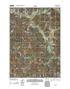
2011 Map of Crow
USGS Topo · Published 2011About this map
Coyote Creek meanders through this western Lane County landscape, serving as a primary drainage for a region defined by its small valleys and timbered ridges. Near the Coyote Creek Bridge, the small settlement of Hadleyville sits at a crossroads, while Crow occupies the northern reaches near Crow Hill. The map reveals a deeply rooted rural community, evidenced by several family and local burial grounds including Gates Cemetery, Jenkins Cemetery, and the Heatherly Cemetery.
Find a feature on this map
59 named features on this map. Tap any name to fly to it.
Don’t see what you’re looking for? This feature index may not catch every label — zoom into the map to look around manually.
Map Details
Editions of this 2011 Crow Map
This is the sole edition of this map. No revisions or reprints were ever made.
Other maps of this area
1909 · Elmira
USGS Topo · 1:62,500
1910 · Eugene
USGS Topo · 1:62,500
1921 · Cottage Grove
USGS Topo · 1:62,500
1922 · Elmira
USGS Topo · 1:62,500
1940 · Eugene
USGS Topo · 1:62,500
1942 · Elmira
USGS Topo · 1:62,500
1942 · Crow
USGS Topo · 1:62,500
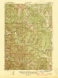
1945 · Crow
USGS Topo · 1:62,500
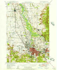
1946 · Eugene
USGS Topo · 1:62,500
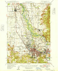
1949 · Eugene
USGS Topo · 1:62,500