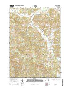
2014 Map of Crow
USGS Topo · Published 2014About this map
Hadleyville and Crow anchor this section of the Oregon coast range foothills, where agricultural valleys meet timbered slopes. The settlement at Crow is overlooked by Crow Hill, while Hadleyville sits at the junction of the Territorial Hwy and Coyote Creek Rd, featuring the notable Coyote Creek Bridge. The landscape is defined by a series of small family burial grounds, including Gates Cem, Lilles Cem, and Heatherly Cem, which provide significant genealogical links to the early residents of this rural district. Numerous drainages such as Coyote Cr, Battle Cr, and Wolf Cr carve through the terrain, while landmarks like Wolf Point and the Ford Farms Reservoir indicate a mix of natural topography and developed land use. The presence of several Bureau of Land Management roads, such as BLM-19-5-18, highlights the intersection of private homesteads and public forest management in Lane County.
Find a feature on this map
65 named features on this map. Tap any name to fly to it.
Don’t see what you’re looking for? This feature index may not catch every label — zoom into the map to look around manually.
Map Details
Editions of this 2014 Crow Map
This is the sole edition of this map. No revisions or reprints were ever made.
Other maps of this area

1909 · Elmira
USGS Topo · 1:62,500

1910 · Eugene
USGS Topo · 1:62,500

1921 · Cottage Grove
USGS Topo · 1:62,500

1922 · Elmira
USGS Topo · 1:62,500

1940 · Eugene
USGS Topo · 1:62,500

1942 · Elmira
USGS Topo · 1:62,500

1942 · Crow
USGS Topo · 1:62,500

1945 · Crow
USGS Topo · 1:62,500

1946 · Eugene
USGS Topo · 1:62,500

1949 · Eugene
USGS Topo · 1:62,500