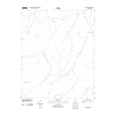
2010 Map of Crow Point
USGS Topo · Published 2010About this map
Cebollita Mesa and the expansive drainage of Cañon Largo define this high-desert landscape in Cibola County. The terrain is characterized by a series of prominent mesas, including Sandstone Mesa, Koya Mesa, and the distinctive Mesa Negra to the west. These elevated plateaus are separated by deep canyons and seasonal watercourses such as Acoma Creek and Acoma Canyon.
Find a feature on this map
17 named features on this map. Tap any name to fly to it.
Don’t see what you’re looking for? This feature index may not catch every label — zoom into the map to look around manually.
Map Details
Editions of this 2010 Crow Point Map
This is the sole edition of this map. No revisions or reprints were ever made.
Other maps of this area

1883 · Mt. Taylor
USGS Topo · 1:250,000

1886 · Mt. Taylor
USGS Topo · 1:250,000

1892 · Mt. Taylor
USGS Topo · 1:250,000

1899 · Mt. Taylor
USGS Topo · 1:250,000

1917 · Broom Mountain
USGS Topo · 1:125,000

1954 · Socorro
USGS Topo · 1:250,000

1957 · Grants SE
USGS Topo · 1:24,000

1957 · Mc Cartys
USGS Topo · 1:24,000

1957 · Cubero
USGS Topo · 1:24,000

1958 · Socorro
USGS Topo · 1:250,000