
1957 Map of Grants SE
USGS Topo · Published 1959About this map
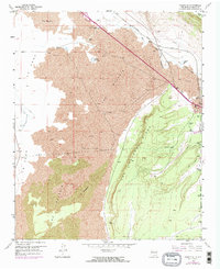
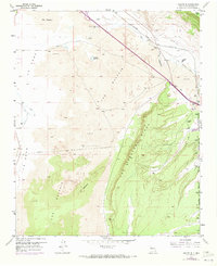
Ventana Ridge and the volcanic expanses of The Malpais dominate this mid-century New Mexico landscape, illustrating the geological complexity of the Zuni-Bandera volcanic field. The Atchison Topeka and Santa Fe railroad follows the course of the Rio San Jose through the northern corridor, a path mirrored by an Old Railroad Grade and modern infrastructure like a Pipeline and Telephone lines. These transport routes skirt the lava-choked valleys of La Vega and the sandy stretches of El Medano.
Find a feature on this map
21 named features on this map. Tap any name to fly to it.
Don’t see what you’re looking for? This feature index may not catch every label — zoom into the map to look around manually.
Map Details
Editions of this 1957 Grants SE Map
Other maps of this area

1883 · Mt. Taylor
USGS Topo · 1:250,000

1886 · Mt. Taylor
USGS Topo · 1:250,000

1892 · Mt. Taylor
USGS Topo · 1:250,000

1899 · Mt. Taylor
USGS Topo · 1:250,000

1917 · Broom Mountain
USGS Topo · 1:125,000

1954 · Socorro
USGS Topo · 1:250,000

1957 · San Rafael
USGS Topo · 1:24,000

1957 · Lobo Springs
USGS Topo · 1:24,000

1957 · Mc Cartys
USGS Topo · 1:24,000
1957 · Grants
USGS Topo · 1:24,000