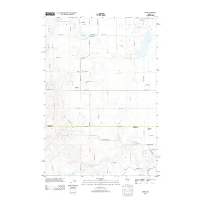
2013 Map of Crown
USGS Topo · Published 2013About this map
Seelye Brook winds through this rural landscape on the border of Isanti and Anoka counties, anchoring a region of scattered small-town centers and low-lying wetlands. The settlement of Crown sits at the intersection of local routes, while the community of Oxlip marks the northern edge of the sheet. The area's agricultural and rural character is punctuated by several small airfields, including Swanson Field Airport and Aero-Plain Airport, reflecting the local aviation infrastructure in this part of Minnesota.
Find a feature on this map
35 named features on this map. Tap any name to fly to it.
Don’t see what you’re looking for? This feature index may not catch every label — zoom into the map to look around manually.
Map Details
Editions of this 2013 Crown Map
This is the sole edition of this map. No revisions or reprints were ever made.
Other maps of this area

1916 · St. Francis
USGS Topo · 1:62,500

1919 · St. Francis
USGS Topo · 1:62,500

1953 · Stillwater
USGS Topo · 1:250,000

1955 · Stillwater
USGS Topo · 1:250,000

1958 · Stillwater
USGS Topo · 1:250,000

1961 · Bradford
USGS Topo · 1:24,000

1961 · Lake Fremont
USGS Topo · 1:24,000

1961 · Elk River
USGS Topo · 1:24,000

1961 · Wyanett
USGS Topo · 1:24,000

1961 · Elk River
USGS Topo · 1:62,500