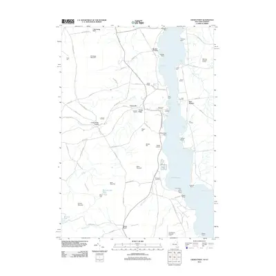
2012 Map of Crown Point
USGS Topo · Published 2012About this map
Crown Point and the surrounding Essex County landscape are documented here as they appeared in the early 21st century along the western shore of Lake Champlain. The map shows a transition from the agricultural lowlands near West Bridport to the significant elevations of Bulwagga Mountain and Buck Mountain. Evidence of the area's long-standing community fabric is clear in the cluster of burial grounds, including Forestdale Cemetery and Sacred Heart Cemetery, which serve the small settlements of Factoryville and Crown Point Center. Along the water, the maritime character is anchored by Fivemile Point Light and several sheltered inlets such as Schoolhouse Bay and Leonard Bay. The inclusion of the Ticonderoga Municipal Airport and the Champlain Speedway reflects the modern infrastructure and recreational usage that overlies this terrain of high ridges and hollows like Dibble Hollow.
Find a feature on this map
89 named features on this map. Tap any name to fly to it.
Don’t see what you’re looking for? This feature index may not catch every label — zoom into the map to look around manually.
Map Details
Editions of this 2012 Crown Point Map
This is the sole edition of this map. No revisions or reprints were ever made.
Other maps of this area

1894 · Elizabethtown
USGS Topo · 1:62,500

1894 · Port Henry
USGS Topo · 1:62,500

1894 · Ticonderoga
USGS Topo · 1:62,500

1895 · Elizabethtown
USGS Topo · 1:62,500

1895 · Paradox Lake
USGS Topo · 1:62,500

1896 · Ticonderoga
USGS Topo · 1:62,500

1897 · Paradox Lake
USGS Topo · 1:62,500

1898 · Port Henry
USGS Topo · 1:62,500

1901 · Elizabethtown
USGS Topo · 1:62,500

1902 · Ticonderoga
USGS Topo · 1:62,500