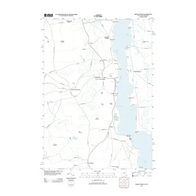
2013 Map of Crown Point
USGS Topo · Published 2013About this map
Lake Champlain dominates the eastern half of this landscape, its waters punctuated by points and islands such as Putts Point and Lapham Island. On the New York shore, the community of Crown Point is flanked by smaller settlements like Factoryville and Burdick Crossing. The area's agricultural and social history is well-preserved through a network of rural cemeteries, including Forestdale Cem and Sacred Heart Cem, which stand near the winding course of Putnam Cr.
Find a feature on this map
95 named features on this map. Tap any name to fly to it.
Don’t see what you’re looking for? This feature index may not catch every label — zoom into the map to look around manually.
Map Details
Editions of this 2013 Crown Point Map
This is the sole edition of this map. No revisions or reprints were ever made.
Other maps of this area

1894 · Elizabethtown
USGS Topo · 1:62,500

1894 · Port Henry
USGS Topo · 1:62,500

1894 · Ticonderoga
USGS Topo · 1:62,500

1895 · Elizabethtown
USGS Topo · 1:62,500

1895 · Paradox Lake
USGS Topo · 1:62,500

1896 · Ticonderoga
USGS Topo · 1:62,500

1897 · Paradox Lake
USGS Topo · 1:62,500

1898 · Port Henry
USGS Topo · 1:62,500

1901 · Elizabethtown
USGS Topo · 1:62,500

1902 · Ticonderoga
USGS Topo · 1:62,500