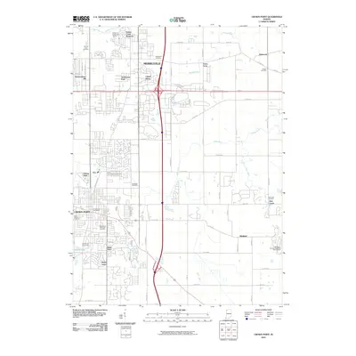
2010 Map of Crown Point
USGS Topo · Published 2010About this map
Crown Point and Merrillville anchor this map of northwest Indiana, illustrating a landscape of established residential centers and expanding suburban developments. The region is marked by a high density of memorial sites and community institutions, including Saint Marys Cemetery, Maplewood Memorial Cemetery, and the extensive grounds of the Lake County Fairground. The intersection of major thoroughfares and interstates facilitates the layout of neighborhoods like Independence Hill, Southmoor Park, and Chapel Manor, while the presence of the Southlake Speedway reflects the area's local recreation culture.
Find a feature on this map
47 named features on this map. Tap any name to fly to it.
Don’t see what you’re looking for? This feature index may not catch every label — zoom into the map to look around manually.
Map Details
Editions of this 2010 Crown Point Map
This is the sole edition of this map. No revisions or reprints were ever made.
Other maps of this area

1900 · Toleston
USGS Topo · 1:62,500

1934 · Porter
USGS Topo · 1:48,000

1940 · Porter
USGS Topo · 1:62,500

1953 · Leroy
USGS Topo · 1:24,000

1953 · St. John
USGS Topo · 1:24,000

1953 · Palmer
USGS Topo · 1:24,000

1953 · Gary
USGS Topo · 1:24,000

1953 · Crown Point
USGS Topo · 1:24,000

1953 · Hebron
USGS Topo · 1:24,000

1953 · Garyton
USGS Topo · 1:24,000