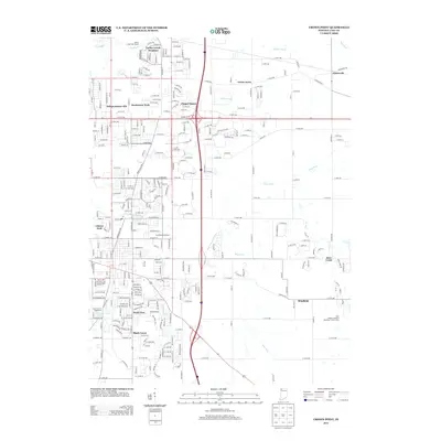
2013 Map of Crown Point
USGS Topo · Published 2013About this map
Lake County Fairground and Fancher Lake anchor the western edge of this suburban and agricultural landscape south of Gary. The area exhibits a dense network of residential developments and planned communities that expanded during the late twentieth century, including Turkey Creek Meadows, Independence Hill, and Chapel Manor. These neighborhoods are interspersed with a complex drainage system essential to the region's geography, featuring Sprout Ditch, Main Beaver Dam Ditch, and the winding course of Deep River. To the east, the rural character persists near Ainsworth and the Region Christian Assembly Church Camp, where the landscape transitions into more open acreage. The mapping provides a clear view of the established street grids and newer subdivisions like Shady Lawn and Wald View as they integrated into the Lake County infrastructure.
Find a feature on this map
124 named features on this map. Tap any name to fly to it.
Don’t see what you’re looking for? This feature index may not catch every label — zoom into the map to look around manually.
Map Details
Editions of this 2013 Crown Point Map
This is the sole edition of this map. No revisions or reprints were ever made.
Other maps of this area

1900 · Toleston
USGS Topo · 1:62,500

1934 · Porter
USGS Topo · 1:48,000

1940 · Porter
USGS Topo · 1:62,500

1953 · Leroy
USGS Topo · 1:24,000

1953 · St. John
USGS Topo · 1:24,000

1953 · Palmer
USGS Topo · 1:24,000

1953 · Gary
USGS Topo · 1:24,000

1953 · Crown Point
USGS Topo · 1:24,000

1953 · Hebron
USGS Topo · 1:24,000

1953 · Garyton
USGS Topo · 1:24,000