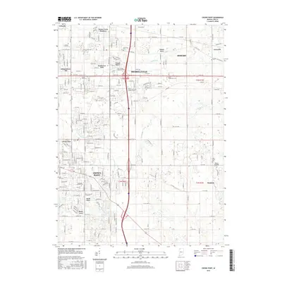
2016 Map of Crown Point
USGS Topo · Published 2016About this map
Crown Point and Merrillville anchor this 2016 survey of Lake County, Indiana, showcasing a landscape defined by residential growth and a legacy of historic transportation corridors. The Old Lincoln Hwy traverses the northern section, a testament to early transcontinental travel that helped shape these communities. The drainage patterns of the Calumet region are clearly delineated through engineered waterways such as the Main Beaver Dam Ditch, Sprout Ditch, and Smith Ditch, which manage the low-lying terrain surrounding the Deep River.
Find a feature on this map
74 named features on this map. Tap any name to fly to it.
Don’t see what you’re looking for? This feature index may not catch every label — zoom into the map to look around manually.
Map Details
Editions of this 2016 Crown Point Map
This is the sole edition of this map. No revisions or reprints were ever made.
Other maps of this area

1900 · Toleston
USGS Topo · 1:62,500

1934 · Porter
USGS Topo · 1:48,000

1940 · Porter
USGS Topo · 1:62,500

1953 · Leroy
USGS Topo · 1:24,000

1953 · St. John
USGS Topo · 1:24,000

1953 · Palmer
USGS Topo · 1:24,000

1953 · Gary
USGS Topo · 1:24,000

1953 · Crown Point
USGS Topo · 1:24,000

1953 · Hebron
USGS Topo · 1:24,000

1953 · Garyton
USGS Topo · 1:24,000