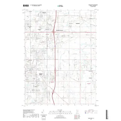
2019 Map of Crown Point
USGS Topo · Published 2019About this map
Crown Point and Merrillville anchor this 2019 survey of Lake County, Indiana, showcasing a landscape defined by residential expansion and a complex network of water management features. The area's agricultural past is still visible in the drainage patterns of Main-Beaver Dam Ditch and Niles Ditch, while the former route of the Erie Lackawanna railroad suggests the region's industrial heritage. Smaller residential pockets like Turkey Creek Meadows, Independence Hill, and Shady Lawn are interwoven with numerous cemeteries, including Maplewood Memorial Cem and Saint Marys Cem. These burial grounds, alongside landmarks like Liberty Park and Fancher Lake, provide critical reference points for local history and genealogical research in this suburbanized corridor south of the Calumet region.
Find a feature on this map
121 named features on this map. Tap any name to fly to it.
Don’t see what you’re looking for? This feature index may not catch every label — zoom into the map to look around manually.
Map Details
Editions of this 2019 Crown Point Map
This is the sole edition of this map. No revisions or reprints were ever made.
Other maps of this area

1900 · Toleston
USGS Topo · 1:62,500

1934 · Porter
USGS Topo · 1:48,000

1940 · Porter
USGS Topo · 1:62,500

1953 · Leroy
USGS Topo · 1:24,000

1953 · St. John
USGS Topo · 1:24,000

1953 · Palmer
USGS Topo · 1:24,000

1953 · Gary
USGS Topo · 1:24,000

1953 · Crown Point
USGS Topo · 1:24,000

1953 · Hebron
USGS Topo · 1:24,000

1953 · Garyton
USGS Topo · 1:24,000