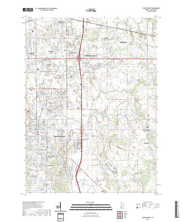
2022 Map of Crown Point
USGS Topo · Published 2022About this map
Crown Point and Merrillville anchor this detailed landscape in Lake County, documenting a densely layered network of residential neighborhoods and vital public infrastructure. The map highlights significant civic spaces like the Lake County Government Complex Courts Building and educational facilities such as Success Schools LLC. Local history is preserved through several prominent burial grounds, including Saint Marys Cem, Maplewood Memorial Cem, and Calumet Park Cem, which serve as important touchstones for genealogical research in the region.
Find a feature on this map
128 named features on this map. Tap any name to fly to it.
Don’t see what you’re looking for? This feature index may not catch every label — zoom into the map to look around manually.
Map Details
Editions of this 2022 Crown Point Map
This is the sole edition of this map. No revisions or reprints were ever made.
Other maps of this area
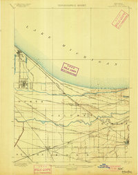
1900 · Toleston
USGS Topo · 1:62,500
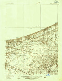
1934 · Porter
USGS Topo · 1:48,000
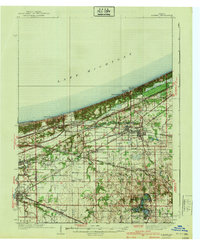
1940 · Porter
USGS Topo · 1:62,500
1953 · Leroy
USGS Topo · 1:24,000
1953 · St. John
USGS Topo · 1:24,000
1953 · Palmer
USGS Topo · 1:24,000
1953 · Gary
USGS Topo · 1:24,000
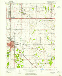
1953 · Crown Point
USGS Topo · 1:24,000
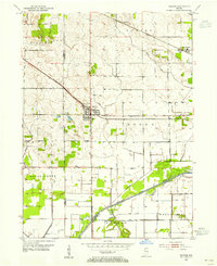
1953 · Hebron
USGS Topo · 1:24,000
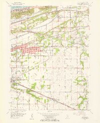
1953 · Garyton
USGS Topo · 1:24,000