Loading...
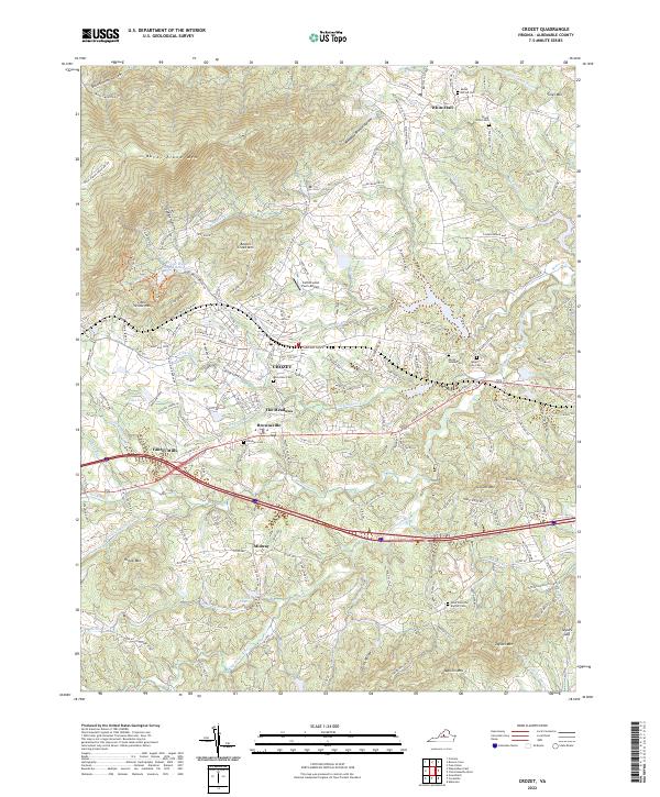
Loading map...2022 Map of Crozet
USGS Topo · Published 2022About this map
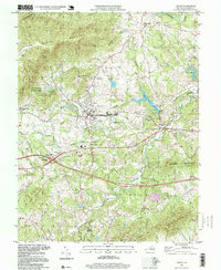
The Crozet region of Albemarle County reveals a landscape where the eastern foothills of the Blue Ridge Mountains meet the established agricultural and residential corridors of Central Virginia. This modern survey illustrates the persistent importance of early transportation routes, such as the Rockfish Gap Tpke and the historical railroad footprint near Mechums Depot Ln, which shaped the development of settlements like Yancey Mills and Brownsville.
Find a feature on this map
130 named features on this map. Tap any name to fly to it.
Don’t see what you’re looking for? This feature index may not catch every label — zoom into the map to look around manually.
Map Details
Date Portrayed2022
Date Published2022
PublisherU.S. Geological Survey
Map TypeTopographic
Scale1:24000
Physical Dimensions24 x 29 inches
Editions of this 2022 Crozet Map
This is the sole edition of this map. No revisions or reprints were ever made.
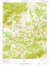
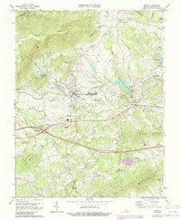
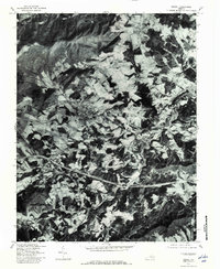
Historical Maps of Ivy Woods Through Time
5 maps found
Featured Locations
Source Details
SourceU.S. Geological Survey
CopyrightPublic Domain