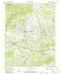
1973 Map of Crozet
USGS Topo · Published 1987About this map
Crozet serves as the central hub of this Albemarle County landscape, situated where the CSX railroad corridor meets the foothills of the Blue Ridge. The terrain is defined by the sharp rise of Bucks Elbow Mountain and Little Yellow Mtn to the west, with numerous watercourses like Lickinghole Creek and Beaver Creek draining toward the Mechums River. Cultural landmarks of significant local interest include the historic Miller School and Henley Sch, alongside several rural congregations such as Mt Moriah Ch and St John the Baptist Ch.
Find a feature on this map
70 named features on this map. Tap any name to fly to it.
Don’t see what you’re looking for? This feature index may not catch every label — zoom into the map to look around manually.
Map Details
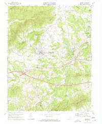
Editions of this 1973 Crozet Map
2 editions found
Other maps of this area

1892 · Buckingham
USGS Topo · 1:125,000

1892 · Harrisonburg
USGS Topo · 1:125,000

1929 · Covesville
USGS Topo · 1:62,500

1931 · University
USGS Topo · 1:62,500

1934 · Waynesboro
USGS Topo · 1:48,000

1935 · Covesville
USGS Topo · 1:62,500

1935 · University
USGS Topo · 1:62,500

1939 · Waynesboro
USGS Topo · 1:62,500

1943 · Lovingston
USGS Topo · 1:62,500

1945 · Covesville
USGS Topo · 1:62,500