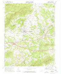
1973 Map of Crozet
USGS Topo · Published 1974About this map
The town of Crozet and the adjacent village of Parrott anchor this mid-1970s landscape where the foothills of the Blue Ridge meet the Virginia Piedmont. The industrial and transport history of the region is centered on the Chesapeake and Ohio railroad, which cuts through the heart of the settlement near the Radio Tower (WPED). To the south and west, smaller communities like Slabtown, Yancey Mills, and Midway dot the terrain, linked by established roads and family-named landmarks.
Find a feature on this map
59 named features on this map. Tap any name to fly to it.
Don’t see what you’re looking for? This feature index may not catch every label — zoom into the map to look around manually.
Map Details
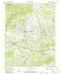
Editions of this 1973 Crozet Map
2 editions found
Other maps of this area

1892 · Buckingham
USGS Topo · 1:125,000

1892 · Harrisonburg
USGS Topo · 1:125,000

1929 · Covesville
USGS Topo · 1:62,500

1931 · University
USGS Topo · 1:62,500

1934 · Waynesboro
USGS Topo · 1:48,000

1935 · Covesville
USGS Topo · 1:62,500

1935 · University
USGS Topo · 1:62,500

1939 · Waynesboro
USGS Topo · 1:62,500

1943 · Lovingston
USGS Topo · 1:62,500

1945 · Covesville
USGS Topo · 1:62,500