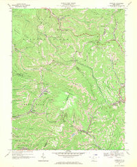
1967 Map of Crumpler
USGS Topo · Published 1970About this map
Flat Top Mountain and Barkers Ridge dominate this section of the Southern West Virginia coalfields, where the Norfolk and Western railroad tracks follow winding creek beds to serve numerous mining communities. The landscape is defined by a dense network of strip mines that contour around the steep elevations of Milam Ridge and Peach Ridge. Small coal towns such as Crumpler, McComas, and Ashland are clustered in the narrow valleys, connected by the rail lines that hauled the region's primary resource.
Find a feature on this map
61 named features on this map. Tap any name to fly to it.
Don’t see what you’re looking for? This feature index may not catch every label — zoom into the map to look around manually.
Map Details
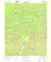
Editions of this 1967 Crumpler Map
2 editions found
Other maps of this area

1887 · Pocahontas
USGS Topo · 1:125,000

1891 · Pocahontas
USGS Topo · 1:125,000

1891 · Raleigh
USGS Topo · 1:125,000

1894 · Pocahontas
USGS Topo · 1:125,000

1895 · Pocahontas
USGS Topo · 1:125,000

1897 · Raleigh
USGS Topo · 1:125,000

1902 · Raleigh
USGS Topo · 1:125,000

1909 · Pocahontas Special
USGS Topo · 1:48,000

1911 · Flattop
USGS Topo · 1:48,000

1911 · Pocahontas Special
USGS Topo · 1:62,500