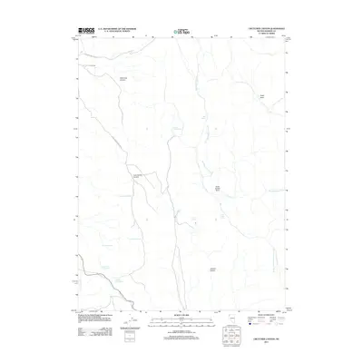
2011 Map of Crutcher Canyon
USGS Topo · Published 2011About this map
Old Camp anchors the northern reaches of this high-desert landscape in Washoe County, where seasonal drainages and scattered springs define the movement of water through the terrain. The map details a complex network of canyons and basins, including Crutcher Canyon, Lone Juniper Canyon, and the distinct depression of Dolly Varden Basin. Named water sources like Supply Camp Spring and Crutcher Springs suggest a history of human and livestock reliance on these isolated points within the drainage systems of Red Mountain Creek and Duck Flat Wash. The presence of Upper Post Corral Spring and Lower Post Corral Spring further indicates the area's utility for ranching or pastoral management. Two primary primitive routes, Old Camp Canyon Rd and Lone Juniper Canyon Rd, provide the only significant access into this arid interior.
Find a feature on this map
20 named features on this map. Tap any name to fly to it.
Don’t see what you’re looking for? This feature index may not catch every label — zoom into the map to look around manually.
Map Details
Editions of this 2011 Crutcher Canyon Map
This is the sole edition of this map. No revisions or reprints were ever made.
Other maps of this area

1886 · Granite Range
USGS Topo · 1:250,000

1889 · Long Valley
USGS Topo · 1:250,000

1894 · Granite Range
USGS Topo · 1:250,000

1954 · Vya
USGS Topo · 1:250,000

1955 · Lovelock
USGS Topo · 1:250,000

1958 · Vya
USGS Topo · 1:250,000

1959 · Lovelock
USGS Topo · 1:250,000

1962 · Vya
USGS Topo · 1:250,000

1980 · Melody Mountain
USGS Topo · 1:24,000
1980 · Fox Mountain
USGS Topo · 1:24,000