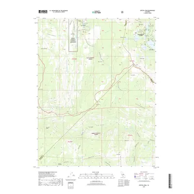
2018 Map of Crystal Crag
USGS Topo · Published 2018About this map
Mammoth Lakes serves as the gateway to this high-altitude landscape where the Sierra Nevada is shaped by volcanic history and glacial movement. The western portion of the sheet is dominated by the Devils Postpile National Monument, featuring the iconic basalt columns and the dramatic drop of Rainbow Falls along the Middle Fork San Joaquin River. Geothermal activity is evident at Reds Meadow Hot Springs and the remote Iva Bell Hot Springs to the south.
Find a feature on this map
64 named features on this map. Tap any name to fly to it.
Don’t see what you’re looking for? This feature index may not catch every label — zoom into the map to look around manually.
Map Details
Editions of this 2018 Crystal Crag Map
This is the sole edition of this map. No revisions or reprints were ever made.
Other maps of this area

1901 · Mt. Lyell
USGS Topo · 1:125,000

1904 · Kaiser
USGS Topo · 1:125,000

1912 · Mt. Goddard
USGS Topo · 1:125,000

1914 · Mt. Morrison
USGS Topo · 1:125,000

1947 · Mariposa
USGS Topo · 1:250,000

1948 · Mariposa
USGS Topo · 1:250,000

1953 · Mt. Morrison
USGS Topo · 1:62,500

1953 · Mt Abbot
USGS Topo · 1:62,500

1953 · Devils Postpile
USGS Topo · 1:62,500

1953 · Kaiser Peak
USGS Topo · 1:62,500