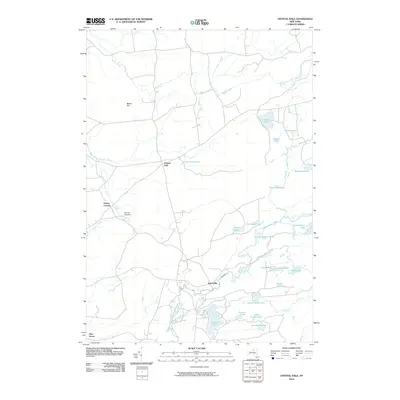
2010 Map of Crystal Dale
USGS Topo · Published 2010About this map
The Independence River and its numerous glacial kettle lakes and ponds define this portion of the Tug Hill transition zone and western Adirondacks. Smaller settlements like Crystal Dale and Sperryville anchor a landscape where water and wood were historically the primary drivers of development. The drainage of Crystal Creek and the South Branch Crystal Creek flow toward the Black River valley, while the presence of the Beach Millpond suggests the area's legacy of timber processing.
Find a feature on this map
32 named features on this map. Tap any name to fly to it.
Don’t see what you’re looking for? This feature index may not catch every label — zoom into the map to look around manually.
Map Details
Editions of this 2010 Crystal Dale Map
This is the sole edition of this map. No revisions or reprints were ever made.
Other maps of this area

1905 · Port Leyden
USGS Topo · 1:62,500

1907 · Port Leyden
USGS Topo · 1:62,500

1911 · Lowville
USGS Topo · 1:62,500

1912 · Number Four
USGS Topo · 1:62,500

1912 · Mc Keever
USGS Topo · 1:62,500

1913 · Lowville
USGS Topo · 1:62,500

1915 · Number Four
USGS Topo · 1:62,500

1940 · Port Leyden
USGS Topo · 1:62,500

1950 · Utica
USGS Topo · 1:250,000

1957 · Utica
USGS Topo · 1:250,000