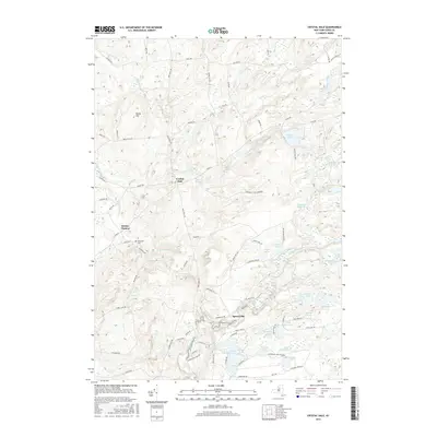
2016 Map of Crystal Dale
USGS Topo · Published 2016About this map
The Adirondack Park Preserve boundary cuts through this corner of Lewis County, where the highlands begin their transition toward the rugged interior of the park. Small hamlets like Crystal Dale and Petries Corners are situated along a network of country roads, while the southeastern portion of the map is dominated by an intricate system of water bodies including Chase Lake, Cleveland Lake, and Hopsicker Pond. The Independence River and Crystal Cr drain this landscape, winding through terrain marked by landmarks such as Beech Hill.
Find a feature on this map
82 named features on this map. Tap any name to fly to it.
Don’t see what you’re looking for? This feature index may not catch every label — zoom into the map to look around manually.
Map Details
Editions of this 2016 Crystal Dale Map
This is the sole edition of this map. No revisions or reprints were ever made.
Other maps of this area

1905 · Port Leyden
USGS Topo · 1:62,500

1907 · Port Leyden
USGS Topo · 1:62,500

1911 · Lowville
USGS Topo · 1:62,500

1912 · Number Four
USGS Topo · 1:62,500

1912 · Mc Keever
USGS Topo · 1:62,500

1913 · Lowville
USGS Topo · 1:62,500

1915 · Number Four
USGS Topo · 1:62,500

1940 · Port Leyden
USGS Topo · 1:62,500

1950 · Utica
USGS Topo · 1:250,000

1957 · Utica
USGS Topo · 1:250,000