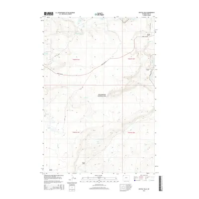
2015 Map of Crystal Falls
USGS Topo · Published 2015About this map
Yellowstone National Park reveals its geothermal and hydrologic complexity on this 2015 survey of the central plateau. The landscape is defined by the descent of the Upper Falls of the Yellowstone River and the nearby Crystal Falls, where the river cuts through volcanic terrain. Movement through this wilderness is documented by a network of historic thoroughfares, including the Grand Loop Rd and the Norris Canyon Rd, which connect the major falls to the high backcountry. To the south, the expansive Hayden Valley provides a contrasting topography of open meadows and thermal features like Violet Springs and Terrace Hot Spring. High-altitude lakes including Wolf Lake and Grebe Lake feed the headwaters of the Gibbon River, illustrating the delicate water systems that define the park's interior.
Find a feature on this map
31 named features on this map. Tap any name to fly to it.
Don’t see what you’re looking for? This feature index may not catch every label — zoom into the map to look around manually.
Map Details
Editions of this 2015 Crystal Falls Map
This is the sole edition of this map. No revisions or reprints were ever made.
Other maps of this area

1885 · Gallatin
USGS Topo · 1:125,000

1885 · Gallatin
USGS Topo · 1:125,000

1886 · Canyon
USGS Topo · 1:125,000

1895 · Canyon
USGS Topo · 1:125,000

1896 · Canyon
USGS Topo · 1:125,000

1901 · Canyon
USGS Topo · 1:125,000

1901 · Gallatin
USGS Topo · 1:125,000

1907 · Canyon
USGS Topo · 1:125,000

1908 · Gallatin
USGS Topo · 1:125,000

1911 · Gallatin
USGS Topo · 1:125,000