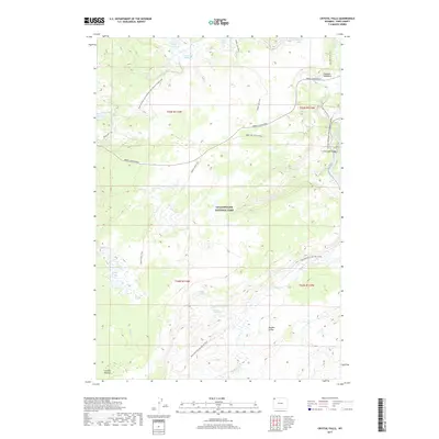
2017 Map of Crystal Falls
USGS Topo · Published 2017About this map
Yellowstone National Park reveals its complex geothermal and hydrologic network in this detailed 2017 study of the Crystal Falls vicinity. The landscape is defined by the high-elevation Hayden Valley and the Central Plateau, where the headwaters of several major systems emerge. Thermal activity is prominently marked at Violet Springs and Terrace Hot Spring, feeding into the winding path of Violet Cr.
Find a feature on this map
36 named features on this map. Tap any name to fly to it.
Don’t see what you’re looking for? This feature index may not catch every label — zoom into the map to look around manually.
Map Details
Editions of this 2017 Crystal Falls Map
This is the sole edition of this map. No revisions or reprints were ever made.
Other maps of this area

1885 · Gallatin
USGS Topo · 1:125,000

1885 · Gallatin
USGS Topo · 1:125,000

1886 · Canyon
USGS Topo · 1:125,000

1895 · Canyon
USGS Topo · 1:125,000

1896 · Canyon
USGS Topo · 1:125,000

1901 · Canyon
USGS Topo · 1:125,000

1901 · Gallatin
USGS Topo · 1:125,000

1907 · Canyon
USGS Topo · 1:125,000

1908 · Gallatin
USGS Topo · 1:125,000

1911 · Gallatin
USGS Topo · 1:125,000