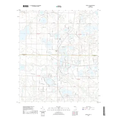
2018 Map of Crystal Lake
USGS Topo · Published 2018About this map
Crystal Lake and the Crystal Village Airport center this Florida panhandle landscape, which is defined by a dense concentration of sinkhole and solution lakes straddling the Washington and Bay county line. The map reveals a mosaic of water bodies, from the larger Open Lake and Compass Lake in the north to the southern cluster including White Western Lake and Court Martial Lake.
Find a feature on this map
136 named features on this map. Tap any name to fly to it.
Don’t see what you’re looking for? This feature index may not catch every label — zoom into the map to look around manually.
Map Details
Editions of this 2018 Crystal Lake Map
This is the sole edition of this map. No revisions or reprints were ever made.
Other maps of this area

1943 · West Bay
USGS Topo · 1:24,000

1943 · Southport
USGS Topo · 1:24,000

1944 · Southport
USGS Topo · 1:24,000

1944 · West Bay
USGS Topo · 1:31,680

1944 · Crystal Lake
USGS Topo · 1:24,000

1944 · Bayhead
USGS Topo · 1:24,000

1944 · Bennett
USGS Topo · 1:24,000

1945 · Bennett
USGS Topo · 1:31,680

1945 · Red Head
USGS Topo · 1:31,680

1945 · Bayhead
USGS Topo · 1:31,680