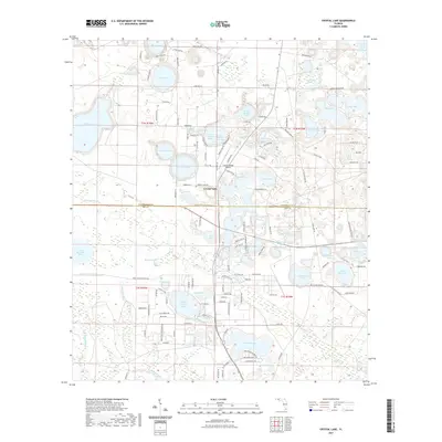
2021 Map of Crystal Lake
USGS Topo · Published 2021About this map
The community of Crystal Lake and the neighboring residential area of Crystal Village anchor this landscape along the border of Washington and Bay Counties. The region is defined by a dense cluster of karst-formed solution lakes, including the large Open Lake and the distinctive Compass Lake. These water bodies are surrounded by a network of local roads such as Shoreline Dr and Plantation Trl, which indicate significant residential development around the shorelines.
Find a feature on this map
143 named features on this map. Tap any name to fly to it.
Don’t see what you’re looking for? This feature index may not catch every label — zoom into the map to look around manually.
Map Details
Editions of this 2021 Crystal Lake Map
This is the sole edition of this map. No revisions or reprints were ever made.
Other maps of this area

1943 · West Bay
USGS Topo · 1:24,000

1943 · Southport
USGS Topo · 1:24,000

1944 · Southport
USGS Topo · 1:24,000

1944 · West Bay
USGS Topo · 1:31,680

1944 · Crystal Lake
USGS Topo · 1:24,000

1944 · Bayhead
USGS Topo · 1:24,000

1944 · Bennett
USGS Topo · 1:24,000

1945 · Bennett
USGS Topo · 1:31,680

1945 · Red Head
USGS Topo · 1:31,680

1945 · Bayhead
USGS Topo · 1:31,680