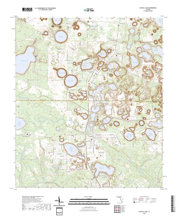
2024 Map of Crystal Lake
USGS Topo · Published 2024About this map
Crystal Lake and its namesake settlement define this interior landscape of the Florida Panhandle, characterized by an extensive network of circular sinkhole lakes and sloughs. The settlement pattern is largely defined by rural ranching and residential enclaves, with significant tracks like Court Martial Ranch Rd and K O S Ranch Rd cutting through the woods south of the Washington County line. Small-scale aviation serves the region via the Crystal Village Airport and Stock Island Airport, while conservation efforts are evident in the sprawling Econfina Creek Water Management Area To Nokuse Plantation Conservation Easement Connector Trl. Genealogists will find several distinct burial grounds, including the Blue Pond Cem and the Bay County Islamic Society Cem, which sit alongside numerous named water bodies like Open Lake and Compass Lake.
Find a feature on this map
152 named features on this map. Tap any name to fly to it.
Don’t see what you’re looking for? This feature index may not catch every label — zoom into the map to look around manually.
Map Details
Editions of this 2024 Crystal Lake Map
This is the sole edition of this map. No revisions or reprints were ever made.
Other maps of this area

1943 · West Bay
USGS Topo · 1:24,000

1943 · Southport
USGS Topo · 1:24,000

1944 · Southport
USGS Topo · 1:24,000

1944 · West Bay
USGS Topo · 1:31,680

1944 · Crystal Lake
USGS Topo · 1:24,000

1944 · Bayhead
USGS Topo · 1:24,000

1944 · Bennett
USGS Topo · 1:24,000

1945 · Bennett
USGS Topo · 1:31,680

1945 · Red Head
USGS Topo · 1:31,680

1945 · Bayhead
USGS Topo · 1:31,680