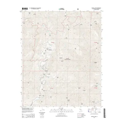
2015 Map of Crystal Lake
USGS Topo · Published 2015About this map
Angeles National Forest high country is defined by the steep ridges and alpine elevations of the San Gabriel Mountains. The Pacific Crest National Scenic Trail traverses the northern peaks, connecting Mt Baden-Powell, Mt Burnham, and Mt Hawkins along the divide. Water is a defining element of this high-elevation terrain, with numerous seasonal and perennial sources like Little Jimmy Spring, Lily Spring, and Alexander Spring feeding the headwaters of the N Fork San Gabriel River and Little Rock Cr.
Find a feature on this map
76 named features on this map. Tap any name to fly to it.
Don’t see what you’re looking for? This feature index may not catch every label — zoom into the map to look around manually.
Map Details
Editions of this 2015 Crystal Lake Map
This is the sole edition of this map. No revisions or reprints were ever made.
Other maps of this area

1894 · Pomona
USGS Topo · 1:62,500

1897 · Pomona
USGS Topo · 1:62,500

1897 · Cucamonga
USGS Topo · 1:62,500

1898 · Pomona
USGS Topo · 1:62,500

1900 · Cucamonga
USGS Topo · 1:62,500

1901 · Southern California Sheet No. 1
USGS Topo · 1:250,000

1903 · Rock Creek
USGS Topo · 1:62,500

1903 · Cucamonga
USGS Topo · 1:62,500

1903 · San Antonio
USGS Topo · 1:62,500

1904 · Pomona
USGS Topo · 1:62,500