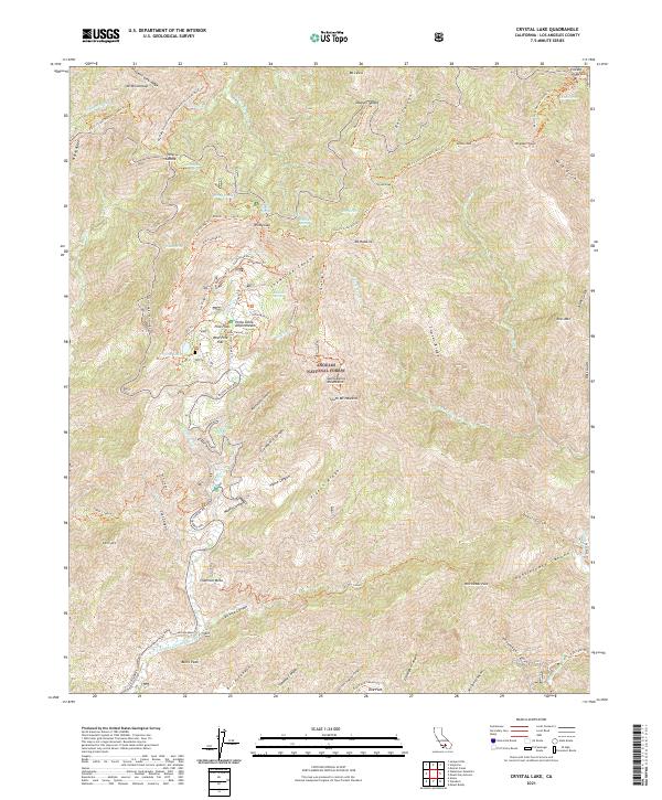
2021 Map of Crystal Lake
USGS Topo · Published 2021About this map
Angeles National Forest dominates this high-elevation segment of the San Gabriel Mountains, where the 2021 topography details the steep relief surrounding the iconic Crystal Lake. The map reveals a complex network of recreation infrastructure, including the Pacific Crest National Scenic Tri as it traverses major peaks like Mt Baden-Powell and Mt Burnham. Local history and recreational development are evident at the Pine Flats area, which features the Pine Flats Amphitheater and West Pine Flat grounds. This modern survey tracks the intricate hydrography of the region, from the headwaters of the N Fork San Gabriel River to high-altitude water sources such as Little Jimmy Spring and White Fir Spring. The presence of Mine Gulch near Vincent Gap serves as a spatial reference to the area's earlier resource extraction history, now largely transitioned to wilderness and managed recreation.
Find a feature on this map
87 named features on this map. Tap any name to fly to it.
Don’t see what you’re looking for? This feature index may not catch every label — zoom into the map to look around manually.
Map Details
Editions of this 2021 Crystal Lake Map
This is the sole edition of this map. No revisions or reprints were ever made.
Other maps of this area

1894 · Pomona
USGS Topo · 1:62,500

1897 · Pomona
USGS Topo · 1:62,500

1897 · Cucamonga
USGS Topo · 1:62,500

1898 · Pomona
USGS Topo · 1:62,500

1900 · Cucamonga
USGS Topo · 1:62,500

1901 · Southern California Sheet No. 1
USGS Topo · 1:250,000

1903 · Rock Creek
USGS Topo · 1:62,500

1903 · Cucamonga
USGS Topo · 1:62,500

1903 · San Antonio
USGS Topo · 1:62,500

1904 · Pomona
USGS Topo · 1:62,500