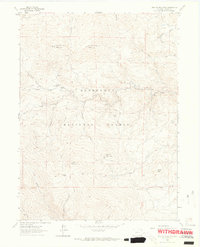
1962 Map of Crystal Mountain
USGS Topo · Published 1964About this map
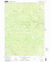
West White Pine Mountain and East White Pine Mountain anchor the northern reaches of this Larimer County landscape, surveyed as part of the Roosevelt National Forest during the early 1960s. The terrain is defined by a network of steep drainages including Backhorn Creek and Box Prairie Creek, which converge near the settlement of Box Prairie. A Lookout Tower sits atop a peak near Lookout Mountain, serving as a vital observation post for the surrounding woodlands.
Find a feature on this map
35 named features on this map. Tap any name to fly to it.
Don’t see what you’re looking for? This feature index may not catch every label — zoom into the map to look around manually.
Map Details
Editions of this 1962 Crystal Mountain Map
7 editions found
Other maps of this area

1905 · Mount Olympus
USGS Topo · 1:62,500

1907 · Mount Olympus
USGS Topo · 1:62,500

1907 · Livermore
USGS Topo · 1:125,000

1909 · Livermore
USGS Topo · 1:125,000

1915 · Longs Peak
USGS Topo · 1:125,000

1916 · Home
USGS Topo · 1:125,000

1919 · Rocky Mountain National Park
USGS Topo · 1:125,000

1920 · Home
USGS Topo · 1:125,000

1954 · Greeley
USGS Topo · 1:250,000

1957 · Greeley
USGS Topo · 1:250,000