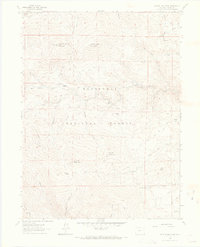
1962 Map of Crystal Mountain
USGS Topo · Published 1970About this map
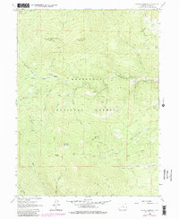
Roosevelt National Forest dominates this high-elevation terrain, where steep drainages and mountain peaks define the early 1960s landscape. The map centers on the heights of Crystal Mountain and Lookout Mountain, the latter featuring a prominent Lookout Tower for fire observation. Human activity is largely concentrated along established routes like Flowers Road and the Old Ballard Road, while the Buckhorn Ranger Sta serves as a remote outpost for forest management.
Find a feature on this map
35 named features on this map. Tap any name to fly to it.
Don’t see what you’re looking for? This feature index may not catch every label — zoom into the map to look around manually.
Map Details
Editions of this 1962 Crystal Mountain Map
7 editions found
Other maps of this area

1905 · Mount Olympus
USGS Topo · 1:62,500

1907 · Mount Olympus
USGS Topo · 1:62,500

1907 · Livermore
USGS Topo · 1:125,000

1909 · Livermore
USGS Topo · 1:125,000

1915 · Longs Peak
USGS Topo · 1:125,000

1916 · Home
USGS Topo · 1:125,000

1919 · Rocky Mountain National Park
USGS Topo · 1:125,000

1920 · Home
USGS Topo · 1:125,000

1954 · Greeley
USGS Topo · 1:250,000

1957 · Greeley
USGS Topo · 1:250,000