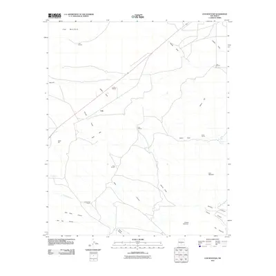
2010 Map of Cub Mountain
USGS Topo · Published 2010About this map
The Malpais dominates the northwestern corner of this Lincoln County landscape, marking a volcanic terrain that transitions into the complex drainage networks of south-central New Mexico. The area is defined by its water-management features, essential for sustaining life in this arid region, with numerous scattered landmarks such as Lower Windmill and Ham Windmill. These points of infrastructure follow the natural contours of the land, branching out from topographic high points like Cub Mountain and the Polly Hills.
Find a feature on this map
28 named features on this map. Tap any name to fly to it.
Don’t see what you’re looking for? This feature index may not catch every label — zoom into the map to look around manually.
Map Details
Editions of this 2010 Cub Mountain Map
This is the sole edition of this map. No revisions or reprints were ever made.
Other maps of this area

1916 · Tularosa
USGS Topo · 1:125,000

1918 · Oscura Peak
USGS Topo · 1:125,000

1938 · Carrizozo
USGS Topo · 1:48,000

1943 · Carrizozo
USGS Topo · 1:62,500

1947 · Three Rivers
USGS Topo · 1:62,500

1948 · Chihuahua Ranch
USGS Topo · 1:62,500

1950 · Oscura
USGS Topo · 1:24,000

1950 · Carrizozo
USGS Topo · 1:62,500

1950 · Sierra Blanca Peak
USGS Topo · 1:62,500

1954 · Tularosa
USGS Topo · 1:250,000