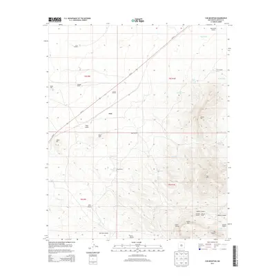
2013 Map of Cub Mountain
USGS Topo · Published 2013About this map
Polly sits at the edge of a landscape defined by ranching infrastructure and high desert terrain in Lincoln County. This 2013 survey reveals a sophisticated network of water management essential for livestock, including numerous windmills such as Nagel Windmill and Goddard Windmill, alongside isolated watering points like Double Tank and West Tank. The topography rises dramatically from the drainage of Cottonwood Cr toward the prominent heights of Cub Mtn and Chaves Mtn.
Find a feature on this map
37 named features on this map. Tap any name to fly to it.
Don’t see what you’re looking for? This feature index may not catch every label — zoom into the map to look around manually.
Map Details
Editions of this 2013 Cub Mountain Map
This is the sole edition of this map. No revisions or reprints were ever made.
Other maps of this area

1916 · Tularosa
USGS Topo · 1:125,000

1918 · Oscura Peak
USGS Topo · 1:125,000

1938 · Carrizozo
USGS Topo · 1:48,000

1943 · Carrizozo
USGS Topo · 1:62,500

1947 · Three Rivers
USGS Topo · 1:62,500

1948 · Chihuahua Ranch
USGS Topo · 1:62,500

1950 · Oscura
USGS Topo · 1:24,000

1950 · Carrizozo
USGS Topo · 1:62,500

1950 · Sierra Blanca Peak
USGS Topo · 1:62,500

1954 · Tularosa
USGS Topo · 1:250,000