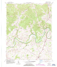
2022 Map of Cub Run
USGS Topo · Published 2022About this map
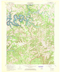
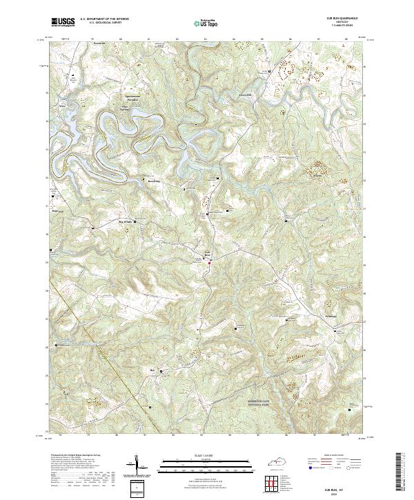
The Nolin River winds through the border of Hart and Grayson counties, defining a landscape of deep meanders and rural settlements like Roseburg and Cub Run. This 2022 survey captures the northern reaches of Mammoth Cave National Park and the surrounding karst topography, including the Big Sink and the winding course of Cane Run. The area is densely populated with small family and community burial grounds such as the Stasel Moneypenny Cem, Day Family Cem, and Jim Bob Jaggers Cem, providing a detailed record for genealogical research.
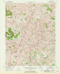
Find a feature on this map
130 named features on this map. Tap any name to fly to it.
Don’t see what you’re looking for? This feature index may not catch every label — zoom into the map to look around manually.
Map Details
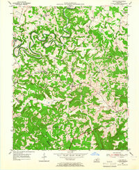
Editions of this 2022 Cub Run Map
This is the sole edition of this map. No revisions or reprints were ever made.
Historical Maps of Macon Through Time
7 maps found