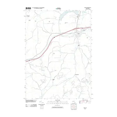
2010 Map of Cuba
USGS Topo · Published 2010About this map
Cuba and its surrounding hamlets occupy a landscape of steep hills and winding stream valleys in the Southern Tier of New York. The village serves as a central hub where Oil Creek, Tannery Creek, and Griffin Creek converge, shaping the local geography. North of the village, Cuba Lake and Van Der Linden Pond offer significant water features amidst the high ground of Reservation Hill and Burt Hill.
Find a feature on this map
81 named features on this map. Tap any name to fly to it.
Don’t see what you’re looking for? This feature index may not catch every label — zoom into the map to look around manually.
Map Details
Editions of this 2010 Cuba Map
This is the sole edition of this map. No revisions or reprints were ever made.
Other maps of this area

1898 · Olean
USGS Topo · 1:62,500

1906 · Angelica
USGS Topo · 1:62,500

1924 · Franklinville
USGS Topo · 1:62,500

1925 · Belmont
USGS Topo · 1:62,500

1938 · Olean
USGS Topo · 1:62,500

1939 · Belmont
USGS Topo · 1:62,500

1941 · Angelica
USGS Topo · 1:62,500

1942 · Franklinville
USGS Topo · 1:62,500

1943 · Olean
USGS Topo · 1:62,500

1960 · Buffalo
USGS Topo · 1:250,000