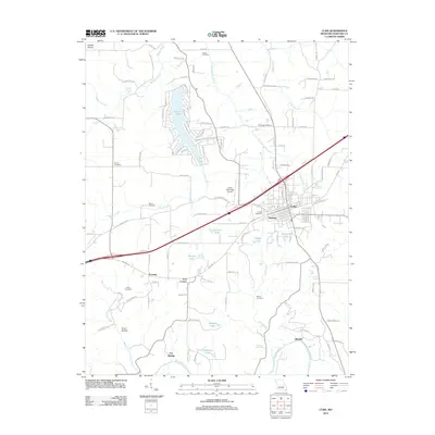
2012 Map of Cuba
USGS Topo · Published 2012About this map
Cuba and the neighboring settlement of Amanda anchor this study of the Eastern Ozarks landscape. The local geography is defined by a dense network of water bodies and family-named landmarks, ranging from the large recreational waters of Indian Lake in the north to the Meramec River winding through the south near Fox Springs. Genealogists will find a significant distribution of burial sites across the township, including the Kinder Cemetery, Green Cemetery, Mount Cemetery, and Zenser Cemetery, reflecting the area's long-standing residential patterns.
Find a feature on this map
107 named features on this map. Tap any name to fly to it.
Don’t see what you’re looking for? This feature index may not catch every label — zoom into the map to look around manually.
Map Details
Editions of this 2012 Cuba Map
This is the sole edition of this map. No revisions or reprints were ever made.
Other maps of this area

1903 · Sullivan
USGS Topo · 1:125,000

1928 · Meramec Spring
USGS Topo · 1:62,500

1932 · Steelville
USGS Topo · 1:48,000

1933 · Steelville
USGS Topo · 1:62,500

1934 · Redbird
USGS Topo · 1:62,500

1937 · Steelville
USGS Topo · 1:62,500

1938 · Redbird
USGS Topo · 1:62,500

1948 · Cuba
USGS Topo · 1:24,000

1948 · Leasburg
USGS Topo · 1:24,000

1948 · Argo
USGS Topo · 1:24,000