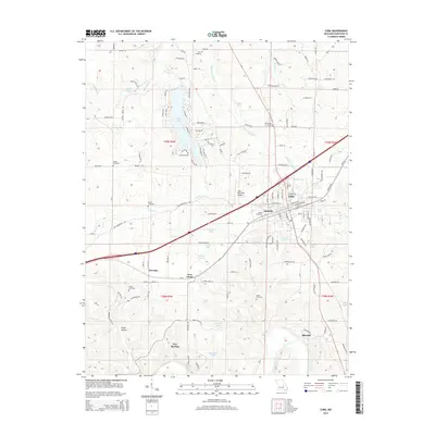
2015 Map of Cuba
USGS Topo · Published 2015About this map
Cuba serves as the central hub of this Missouri landscape, situated at the intersection of major transport routes including the BNSF Railway. The area's settlement pattern is defined by several distinct communities such as Amanda, Fanning, and Iron Center, alongside residential clusters around Indian Lake to the northwest. This lake is surrounded by a dense network of local roads with evocative names like Lone Wolf Dr and White Hawk Dr, illustrating a mid-to-late 20th-century development shift toward recreational and lakeside living.
Find a feature on this map
132 named features on this map. Tap any name to fly to it.
Don’t see what you’re looking for? This feature index may not catch every label — zoom into the map to look around manually.
Map Details
Editions of this 2015 Cuba Map
This is the sole edition of this map. No revisions or reprints were ever made.
Other maps of this area

1903 · Sullivan
USGS Topo · 1:125,000

1928 · Meramec Spring
USGS Topo · 1:62,500

1932 · Steelville
USGS Topo · 1:48,000

1933 · Steelville
USGS Topo · 1:62,500

1934 · Redbird
USGS Topo · 1:62,500

1937 · Steelville
USGS Topo · 1:62,500

1938 · Redbird
USGS Topo · 1:62,500

1948 · Cuba
USGS Topo · 1:24,000

1948 · Leasburg
USGS Topo · 1:24,000

1948 · Argo
USGS Topo · 1:24,000