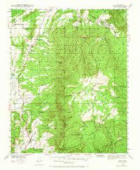
1940 Map of Cuba
USGS Topo · Published 1965About this map
Cuba and the surrounding high-altitude high plains of New Mexico's north-central borderlands are documented here just before the mid-twentieth century. The settlement pattern reflects a network of rural education and ranching, evidenced by numerous isolated schoolhouses such as Los Pinos Sch, Rio Puerco Sch, and Vallecito Sch. These small, localized centers served the dispersed families living along the valleys of the Rio Puerco and Nacimiento Creek.
Find a feature on this map
58 named features on this map. Tap any name to fly to it.
Don’t see what you’re looking for? This feature index may not catch every label — zoom into the map to look around manually.
Map Details
Editions of this 1940 Cuba Map
2 editions found

Other maps of this area

1883 · Mt. Taylor
USGS Topo · 1:250,000

1886 · Mt. Taylor
USGS Topo · 1:250,000

1889 · Largo
USGS Topo · 1:250,000

1890 · Jemes
USGS Topo · 1:125,000

1892 · Jemes
USGS Topo · 1:125,000

1892 · Mt. Taylor
USGS Topo · 1:250,000

1895 · Largo
USGS Topo · 1:250,000

1899 · Mt. Taylor
USGS Topo · 1:250,000

1909 · Gallina
USGS Topo · 1:125,000

1937 · Jemez Springs
USGS Topo · 1:48,000