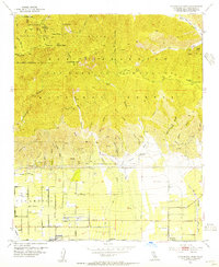
1953 Map of Cucamonga Peak
USGS Topo · Published 1955About this map
The San Gabriel Mountains dominate the northern half of this landscape, rising sharply from the alluvial plains below to peaks like Cucamonga Peak and Ontario Pk. This 1953 field check captures the mid-century transition of the foothills, where the citrus-belt settlements of Alta Loma and Etiwanda sit at the base of steep drainage systems like Cucamonga Canyon and Day Canyon. The economic infrastructure of the era is clearly visible through the dual rail lines of the Atchison Topeka and Santa Fe and the Pacific Electric, which parallel Highland Avenue.
Find a feature on this map
46 named features on this map. Tap any name to fly to it.
Don’t see what you’re looking for? This feature index may not catch every label — zoom into the map to look around manually.
Map Details
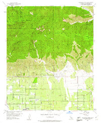
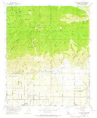
Editions of this 1953 Cucamonga Peak Map
3 editions found
Other maps of this area

1896 · San Bernardino
USGS Topo · 1:62,500

1897 · Cucamonga
USGS Topo · 1:62,500

1898 · San Bernardino
USGS Topo · 1:62,500

1900 · Cucamonga
USGS Topo · 1:62,500

1901 · Southern California Sheet No. 1
USGS Topo · 1:250,000

1901 · San Bernardino
USGS Topo · 1:62,500

1902 · Hesperia
USGS Topo · 1:62,500

1903 · Cucamonga
USGS Topo · 1:62,500

1903 · San Antonio
USGS Topo · 1:62,500

1904 · Southern California Sheet No. 1
USGS Topo · 1:250,000