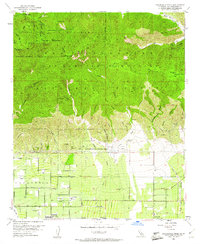
1953 Map of Cucamonga Peak
USGS Topo · Published 1961About this map
The San Gabriel Mountains tower over the northern half of this 1953 survey, a landscape defined by the sharp transition from the steep peaks of the Angeles National Forest to the structured agricultural and rail corridors of the valley below. High-altitude landmarks like Cucamonga Peak, Bighorn Peak, and Ontario Pk overlook a complex network of drainage systems, including the Deer Canyon and Day Canyon Wash, which channel water toward the developing settlements.
Find a feature on this map
45 named features on this map. Tap any name to fly to it.
Don’t see what you’re looking for? This feature index may not catch every label — zoom into the map to look around manually.
Map Details
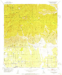
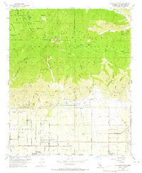
Editions of this 1953 Cucamonga Peak Map
3 editions found
Other maps of this area

1896 · San Bernardino
USGS Topo · 1:62,500

1897 · Cucamonga
USGS Topo · 1:62,500

1898 · San Bernardino
USGS Topo · 1:62,500

1900 · Cucamonga
USGS Topo · 1:62,500

1901 · Southern California Sheet No. 1
USGS Topo · 1:250,000

1901 · San Bernardino
USGS Topo · 1:62,500

1902 · Hesperia
USGS Topo · 1:62,500

1903 · Cucamonga
USGS Topo · 1:62,500

1903 · San Antonio
USGS Topo · 1:62,500

1904 · Southern California Sheet No. 1
USGS Topo · 1:250,000