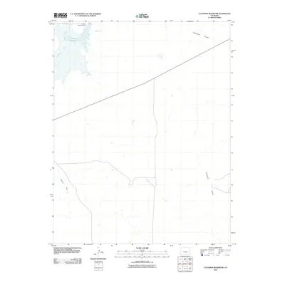
2010 Map of Cucharas Reservoir
USGS Topo · Published 2010About this map
Cucharas Reservoir dominates the northwestern corner of this landscape in Las Animas County, held in place by the Cucharas Number 5 Dam. The surrounding terrain is defined by dry canyons and flat-topped landforms, most notably Cordova Mesa to the southeast and the broad expanse of Bustos Flat in the southwest. Water sources in this arid region are sparse but significant, including the Cucharas River and the isolated Maes Spring. A single primary corridor, Route 10, cuts a straight line diagonally across the center of the sheet, providing the main transit link through this sparsely settled territory. The map illustrates the geographical transition from the reservoir's edge to the high-plains features like Rattlesnake Canyon, showing a rural environment where land use is dictated by the rugged topography and limited water access.
Find a feature on this map
8 named features on this map. Tap any name to fly to it.
Don’t see what you’re looking for? This feature index may not catch every label — zoom into the map to look around manually.
Map Details
Editions of this 2010 Cucharas Reservoir Map
This is the sole edition of this map. No revisions or reprints were ever made.
Other maps of this area

1891 · Walsenburg
USGS Topo · 1:125,000

1891 · Apishapa
USGS Topo · 1:125,000

1893 · Apishapa
USGS Topo · 1:125,000

1894 · Walsenburg
USGS Topo · 1:125,000

1897 · Walsenburg
USGS Topo · 1:125,000

1897 · Apishapa
USGS Topo · 1:125,000

1900 · Walsenburg
USGS Topo · 1:125,000

1954 · Trinidad
USGS Topo · 1:250,000

1955 · Trinidad
USGS Topo · 1:250,000

1958 · Trinidad
USGS Topo · 1:250,000