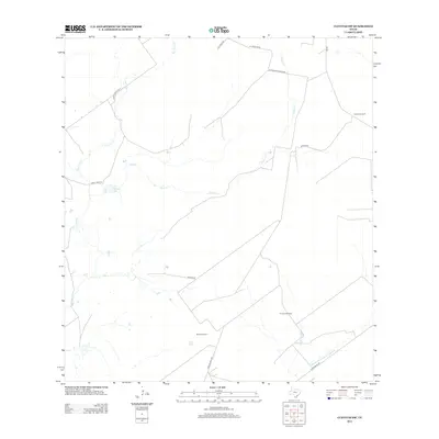
2012 Map of Cuevitas SW
USGS Topo · Published 2012About this map
El Javali Oil Field and Marks Oil Field characterize the industrial landscape of Starr County, where the network of resource extraction meets traditional ranching infrastructure. The arid terrain is defined by ephemeral waterways like Chico Cr and San Juan Cr, which are vital markers in this South Texas environment. Ranching heritage is evidenced by family-named landmarks such as the Guerra Windmill and P Flores Lake, alongside a grid of specialized routes like Jesus Garcia Rd and El Tecolote Ranch Rd. The convergence of Remadura de Charco Largo Cr and Las Escobas Cr in the southeast corner provides a detailed look at the drainage patterns that have historically shaped land use and boundary lines in this part of the state.
Find a feature on this map
17 named features on this map. Tap any name to fly to it.
Don’t see what you’re looking for? This feature index may not catch every label — zoom into the map to look around manually.
Map Details
Editions of this 2012 Cuevitas SW Map
This is the sole edition of this map. No revisions or reprints were ever made.
Other maps of this area

1938 · Falcon
USGS Topo · 1:62,500

1938 · El Sauz
USGS Topo · 1:62,500

1938 · Cuevitas
USGS Topo · 1:62,500

1949 · Mc Allen
USGS Topo · 1:250,000

1954 · McAllen
USGS Topo · 1:250,000

1956 · Arroyo Clareno
USGS Topo · 1:62,500

1957 · Mc Allen
USGS Topo · 1:250,000

1962 · McAllen
USGS Topo · 1:250,000

1965 · Lopeno
USGS Topo · 1:24,000

1972 · Cuevitas
USGS Topo · 1:24,000