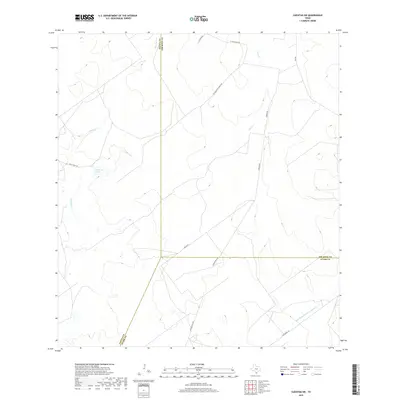
2019 Map of Cuevitas SW
USGS Topo · Published 2019About this map
The tri-county intersection of Zapata, Jim Hogg, and Starr counties anchors this South Texas brush country landscape. Defined by an intricate network of intermittent waterways, the area is drained by San Juan Cr and Chico Cr, which carve through the arid terrain alongside smaller drainages like Las Escobas Cr. A rare permanent water feature, P Flores Lake, sits in the western portion of the quadrangle. The human footprint is predominantly agricultural and ranch-based, evidenced by the private road networks that crisscross the land. Significant transit routes such as El Tecolote Ranch Rd and Javalin Rd provide access to remote ranching outposts, while FM 649 serves as the primary north-south artery. The mapping of Remadura de Charco Largo Cr in the southeast highlights the importance of seasonal water management in this sparsely populated region of the Rio Grande Valley hinterlands.
Find a feature on this map
16 named features on this map. Tap any name to fly to it.
Don’t see what you’re looking for? This feature index may not catch every label — zoom into the map to look around manually.
Map Details
Editions of this 2019 Cuevitas SW Map
This is the sole edition of this map. No revisions or reprints were ever made.
Other maps of this area

1938 · Falcon
USGS Topo · 1:62,500

1938 · El Sauz
USGS Topo · 1:62,500

1938 · Cuevitas
USGS Topo · 1:62,500

1949 · Mc Allen
USGS Topo · 1:250,000

1954 · McAllen
USGS Topo · 1:250,000

1956 · Arroyo Clareno
USGS Topo · 1:62,500

1957 · Mc Allen
USGS Topo · 1:250,000

1962 · McAllen
USGS Topo · 1:250,000

1965 · Lopeno
USGS Topo · 1:24,000

1972 · Cuevitas
USGS Topo · 1:24,000